Solutions / Emergency Response
Dispatch, field units, hospitals, and mutual-aid — in sync, so responders arrive prepared, not guessing.
When a call comes in, dispatch, field units, hospitals, and mutual-aid agencies are each on their own system — so your people toggle screens instead of moving. Intuidy keeps them in sync — then coordinates: recommending the right unit and route, sharing one command picture, and assembling the reporting after.
Your emergency response systems in sync — then acting on their own.
Connect every tool your team already runs into one live picture — then let it act: route the approval, trigger the update, reconcile the records, before anyone has to chase them. Intuidy AIPI — the engine that builds your backend — handles the data, the security, and the plumbing.
Explore the Headless EcosystemapiKey: process.env.INTUIDY_KEY
});
id:
data: requestPayload
});
Arrive knowing what you're walking into.
Dispatch, field units, hospitals, and mutual-aid agencies run on different systems with different data and command structures, so a multi-agency call turns into phone tag and toggled screens.
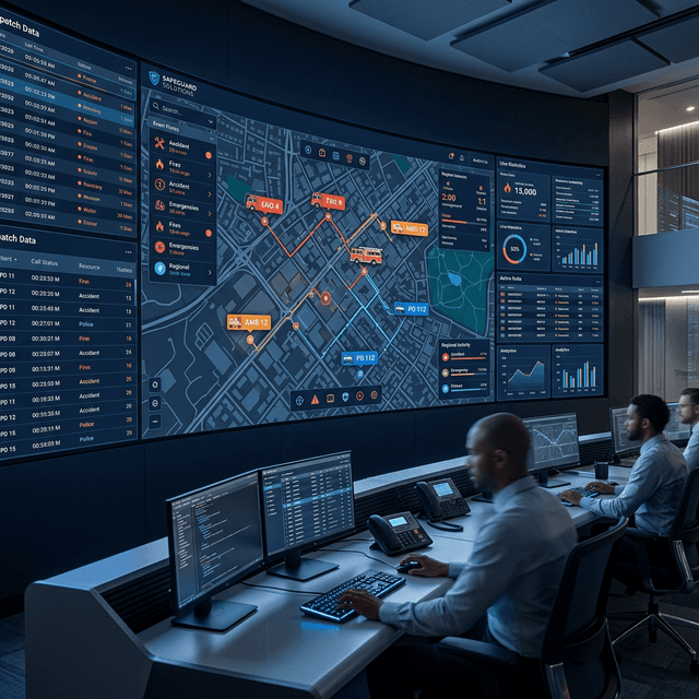
Intuidy keeps them in sync and coordinates the response: putting every unit on one command picture, recommending dispatch and staging on live traffic and availability, and assembling compliance reporting from the incident record. Commanders keep the decisions. You can build the exact emergency management system your agencies need — in weeks, not quarters.
Driving Outcomes
What teams put in sync — and automate
“We had five agencies responding to the same highway incident with zero shared visibility. After Intuidy connected our systems, every unit sees the same picture. Staging conflicts disappeared overnight.”
Partner
County Emergency Services — multi-jurisdiction, 5 agencies
Challenge
Dispatchers juggled CAD screens, radio traffic, and gut feel to decide which unit goes where. Mutual-aid dispatches required phone calls between dispatch centers.
Solution
Intuidy connects CAD, AVL, traffic signals, and real-time unit status so the optimal resource is dispatched automatically — with the fastest verified route.
Situational Awareness
See it — every unit, asset, and agency on one command picture.
Unified Command Picture
Connect CAD, AVL, GIS, and sensor networks into a single operating view — every unit, every asset, one screen.
Real-Time Feeds
Live data from IoT sensors, traffic systems, weather, and field units give commanders the full picture.
Multi-Agency Coordination
Fire, EMS, law enforcement, and public works on the same data layer. Mutual-aid without radio tag.
Unit Routing
Routes the recommended unit on live traffic, signal preemption, and real-time availability — the dispatcher confirms the call.
Response Automation
Act on it — reporting, escalation, and staging recommendations run automatically, with commanders deciding.
Compliance Reporting
NFIRS, NEMSIS, and UCR data assembled automatically from incident records — audit-ready.
After-Action Reports
Post-incident analysis generated automatically with timeline, resource deployment, and outcome data.
Escalation Workflows
Incidents automatically escalate based on type, duration, and resource thresholds.
Staging Recommendations
Recommends staging levels by incident type, scale, and historical patterns — commanders set the final level.
Response Metrics
Track dispatch-to-arrival, resource utilization, and inter-agency coordination performance.
System Integration
Pre-built connectors for CAD, RMS, AVL, GIS, and IoT sensor networks across major vendors.
Start Building
Describe the app your team actually needs. Our engineers will map it, connect your data, and help you ship it — in weeks, not quarters.